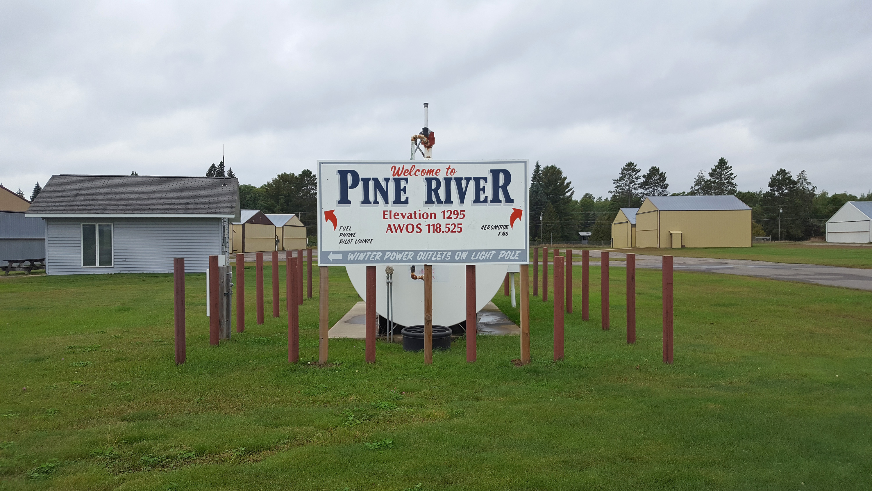
Pine River Project Overview
Welcome
Welcome to the City of Pine River’s website for the Pine River Regional Airport’s Master Plan. This site is your official source for up-to-date information about this planning study. This website will be updated as new information is available. Check back monthly to stay informed about the project and opportunities to participate in the planning process. Click here to leave a comment on the project. We look forward to receiving your feedback.
Project Purpose
An Airport Master Plan is a 20-year plan for an airport and describes the short, mid, and long-term development plans to meet the existing and future needs of the identified users of the airport. The Airport Master Plan will provide direction and guidance to the airport owner, the City of Pine River, regarding future airport preservation and development priorities. It will become the City’s plan and strategy for the future of the airport.
Project Objectives
The Airport Master Plan objectives were discussed with the Pine River Airport Commission, Minnesota Department of Transportation – Office of Aeronautics (MnDOT) and Federal Aviation Administration (FAA) during the project scoping process. The specific objectives identified to help attain the study goals include:
Runway Alternatives
The existing ALP depicts a 600-foot extension to the Runway 16 end that does not meet current design standards. The project will evaluate the existing and future users of the airport to determine if an ultimate runway extension is needed within the 20 year plans for the Airport. As identified in the 2019 Runway/Airspace Feasibility Study, a 360-foot extension to the Runway 16 end will be carried over as a future runway length. If needed, the Consultant will review various runways alternatives including shifting runway end locations and lengthening the runway. Major considerations to be evaluated will be environmental impacts, cost, on and off-airport development impacts, potential of additional instrument flight procedures, zoning implications, and compatibility with local community plans. Airport design standards will be evaluated against the current, future and ultimate critical design aircraft.
Evaluate Building Area Plan
There is a need at the Airport to expand the existing hangar area to accommodate existing and future based aircraft. The existing Airport building area is constrained due to the location of the Departure Surfaces to Runway 16. An updated long-term building area plan will be evaluated for the current hangar storage and future hangar development. The plan will evaluate development and access options for the current building area in addition to other areas west of the runway. Development in these areas will enhance community economic development for aeronautical purposes.
Protect Surrounding Land Uses
The Sponsor has a desire to maximize on-airport land use to attract additional based aircraft and businesses to the Airport. Other land uses will be evaluated to ensure that off-airport impacts are acceptable to meet community planning needs and Airport zoning requirements.
Exhibit A Property Map
The FAA published Standard Operating Procedures for Exhibit A Airport Property Inventory Maps in October 2013. The Sponsor would like to develop an Exhibit A Airport Property Inventory Map for the existing airport property. This information will include research of the history of the project back to patent and note any recorded or unrecorded encumbrances on the property.
Public Involvement
The Sponsor would like special emphasis to be placed on engaging Airport stakeholders and the general public throughout this process. The Consultant will develop a public involvement plan that allows Airport stakeholders the opportunity to provide input to the decision-makers.
PROJECT CONTACTS
Jared Wingo
Senior Aviation Planner
Bolton & Menk, Inc.
12224 Nicollet Avenue
Burnsville, MN 55337
952-890-0509
Jared.Wingo@bolton-menk.com


