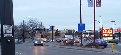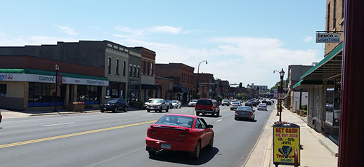
The Mankato/North Mankato Area Planning Organization (MAPO), in coordination with the City of Mankato, Blue Earth County and the Minnesota Department of Transportation, conducted a corridor study on Riverfront Drive from Woodland Avenue to Highway 14. As part of the study, existing and future conditions were evaluated and recommendations for improvements on the corridor were identified for implementation over the next 25 years.
For more information, contact staff at 507-387-8389.
- Executive Summary
- Recommended Concepts for Future Study and Implementation
- Full Report Document
- Appendices A-F
- Appendices G-J
Full Size Concept Layouts
Riverfront Drive Corridor Study:
The Mankato/North Mankato Area Planning Organization (MAPO) and the City of Mankato, in partnership with Blue Earth County and the Minnesota Department of Transportation (MnDOT), are working together to identify multimodal transportation improvements on Riverfront Drive between Woodland Avenue and Highway 14. Riverfront Drive serves an important role in providing access and connectivity to downtown Mankato and providing primary connections to other parts of Mankato and North Mankato, including Highways 14 and 169.
The City of Mankato is currently working with project partners to evaluate roadway design concept alternatives to identify the best options for the successful future of Riverfront Drive. This process was completed in May of 2017. A presentation to the Mankato Planning Commission will take place on June 28, 2017. The final study report will be presented to the Mankato City Council on August 14, 2017.
Contacts:
Mankato/North Mankato Area Planning Organization (MAPO)
Paul Vogel
507-387-8613
pvogel@mankatomn.gov
Chris Talamantez
507-387-8389
ctalamantez@mankatomn.gov
Mankato/North Mankato Area Planning Organization:
The Mankato/North Mankato Area Planning Organization (MAPO) meets and maintains a continuing, cooperative, and comprehensive metropolitan transportation planning process providing maximum service to citizens through intergovernmental collaboration. The 2045 Long Range Transportation Plan prepared by the MAPO which identified and prioritized specific projects that will serve the future needs of the area transportation system. This Riverfront Drive Corridor Study was specifically identified as a high priority project through that planning effort.
MAPO Members:
Cities: Mankato, North Mankato, Eagle Lake, Skyline
Counties: Blue Earth, Nicollet
Townships: Belgrade, Lime, South Bend, LeRay, Mankato


